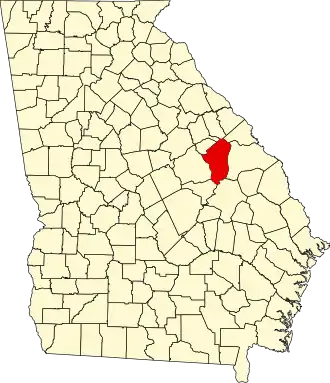
Jefferson County (Georgia)
| County in de Verenigde Staten | |||
|---|---|---|---|
| |||
| Situering | |||
| Staat | Georgia | ||
| Coördinaten | 33°3'0"NB, 82°25'12"WL | ||
| Algemeen | |||
| Oppervlakte | 1.372 km² | ||
| - land | 1.367 km² | ||
| - water | 5 km² | ||
| Inwoners (2000) |
17.266 (13 inw./km²) | ||
| Overig | |||
| Zetel | Louisville | ||
| FIPS-code | 13163 | ||
| Opgericht | 1796 | ||
| Website | www | ||
| Foto's | |||

| |||
 Bevolkingspiramide Jefferson County | |||
| Statistieken volkstelling Jefferson County | |||
| |||
Jefferson County is een county in de Amerikaanse staat Georgia.
De county heeft een landoppervlakte van 1.367 km² en telt 17.266 inwoners (volkstelling 2000). De hoofdplaats is Louisville.
Bevolkingsontwikkeling
| Jaar | Inwoners | % ± | |
|---|---|---|---|
| 1900 | 18.212 | — | |
| 1910 | 21.379 | 17,4% | |
| 1920 | 22.602 | 5,7% | |
| 1930 | 20.727 | −8,3% | |
| 1940 | 20.040 | −3,3% | |
| 1950 | 18.855 | −5,9% | |
| 1960 | 17.468 | −7,4% | |
| 1970 | 17.174 | −1,7% | |
| 1980 | 18.403 | 7,2% | |
| 1990 | 17.408 | −5,4% | |
| 2000 | 17.266 | −0,8% | |
| Bron: (en) Historical Decennial Census Population | |||