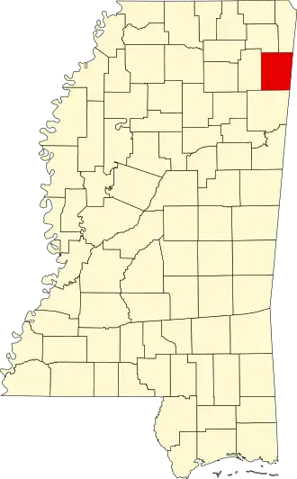
Itawamba County
| County in de Verenigde Staten | |||
|---|---|---|---|
| |||
| Situering | |||
| Staat | Mississippi | ||
| Coördinaten | 34°16'48"NB, 88°21'36"WL | ||
| Algemeen | |||
| Oppervlakte | 1.400 km² | ||
| - land | 1.379 km² | ||
| - water | 21 km² | ||
| Inwoners (2000) |
22.770 (17 inw./km²) | ||
| Overig | |||
| Zetel | Fulton | ||
| FIPS-code | 28057 | ||
| Opgericht | 1836 | ||
| Website | itawambacoms | ||
| Foto's | |||

| |||
 Bevolkingspiramide Itawamba County | |||
| Statistieken volkstelling Itawamba County | |||
| |||
Itawamba County is een county in de Amerikaanse staat Mississippi.
De county heeft een landoppervlakte van 1.379 km² en telt 22.770 inwoners (volkstelling 2000). De hoofdplaats is Fulton.
Bevolkingsontwikkeling
| Jaar | Inwoners | % ± | |
|---|---|---|---|
| 1900 | 13.544 | — | |
| 1910 | 14.526 | 7,3% | |
| 1920 | 15.647 | 7,7% | |
| 1930 | 18.225 | 16,5% | |
| 1940 | 19.922 | 9,3% | |
| 1950 | 17.216 | −13,6% | |
| 1960 | 15.080 | −12,4% | |
| 1970 | 16.847 | 11,7% | |
| 1980 | 20.518 | 21,8% | |
| 1990 | 20.017 | −2,4% | |
| 2000 | 22.770 | 13,8% | |
| Bron: (en) Historical Decennial Census Population | |||