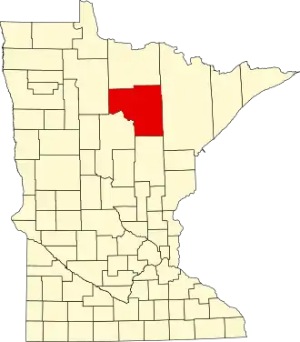
Itasca County
| County in de Verenigde Staten | |||
|---|---|---|---|
| |||
| Situering | |||
| Staat | Minnesota | ||
| Coördinaten | 47°30'36"NB, 93°37'48"WL | ||
| Algemeen | |||
| Oppervlakte | 7.582 km² | ||
| - land | 6.902 km² | ||
| - water | 680 km² | ||
| Inwoners (2000) |
43.992 (6 inw./km²) | ||
| Overig | |||
| Zetel | Grand Rapids | ||
| FIPS-code | 27061 | ||
| Opgericht | 1849 | ||
| Website | www | ||
| Foto's | |||
.jpg)
| |||
 Bevolkingspiramide Itasca County | |||
| Statistieken volkstelling Itasca County | |||
| |||
Itasca County is een county in de Amerikaanse staat Minnesota.
De county heeft een landoppervlakte van 6.902 km² en telt 43.992 inwoners (volkstelling 2000). De hoofdplaats is Grand Rapids.
Bevolkingsontwikkeling
| Jaar | Inwoners | % ± | |
|---|---|---|---|
| 1900 | 4.573 | — | |
| 1910 | 17.208 | 276,3% | |
| 1920 | 23.876 | 38,7% | |
| 1930 | 27.224 | 14,0% | |
| 1940 | 32.996 | 21,2% | |
| 1950 | 33.321 | 1,0% | |
| 1960 | 38.006 | 14,1% | |
| 1970 | 35.530 | −6,5% | |
| 1980 | 43.069 | 21,2% | |
| 1990 | 40.863 | −5,1% | |
| 2000 | 43.992 | 7,7% | |
| Bron: (en) Historical Decennial Census Population | |||