Itanhandu
| Gemeente in Brazilië | |||
|---|---|---|---|
 | |||
 | |||
| Situering | |||
| Regio | Zuidoost | ||
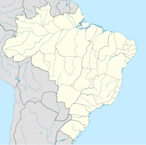
| Staat | Minas Gerais | ||
| Mesoregio | Sul e Sudoeste de Minas | ||
| Microregio | São Lourenço | ||
| Coördinaten | 22° 18′ ZB, 44° 56′ WL | ||
| Algemeen | |||
| Oppervlakte | 143,938 km² | ||
| Inwoners (2009) |
15.253 (98,2 inw./km²) | ||
| Hoogte | 892 m | ||
| Gemeentenummer | 3133105 | ||
| Politiek | |||
| Burgemeester | Evaldo Barros | ||
| Gesticht | 7 september 1923 | ||
| Overig | |||
| Tijdzone | UTC−3 | ||
| HDI | 0,795 | ||
| Website | itanhandu.mg.gov.br | ||
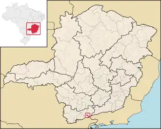
| Detailkaart | |||
| |||
| Locatie van Itanhandu in de staat Minas Gerais | |||
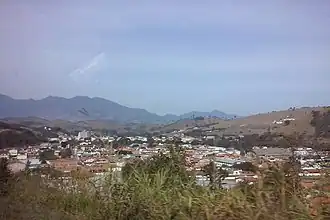
| Foto's | |||
| |||
| Uitzicht op een deel van Itanhandu | |||
| |||
Itanhandu is een gemeente in de Braziliaanse deelstaat Minas Gerais. De gemeente telt 15.253 inwoners (schatting 2009).
Bronnen, noten en/of referenties