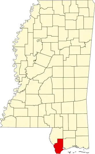
Hancock County (Mississippi)
| County in de Verenigde Staten | |||
|---|---|---|---|
| |||
| Situering | |||
| Staat | Mississippi | ||
| Coördinaten | 30°23'24"NB, 89°28'12"WL | ||
| Algemeen | |||
| Oppervlakte | 1.431 km² | ||
| - land | 1.235 km² | ||
| - water | 196 km² | ||
| Inwoners (2000) |
42.967 (35 inw./km²) | ||
| Overig | |||
| Zetel | Bay Saint Louis | ||
| FIPS-code | 28045 | ||
| Opgericht | 1812 | ||
| Website | hancockcounty | ||
| Foto's | |||

| |||
 Bevolkingspiramide Hancock County | |||
| Statistieken volkstelling Hancock County | |||
| |||
Hancock County is een county in de Amerikaanse staat Mississippi.
De county heeft een landoppervlakte van 1.235 km² en telt 42.967 inwoners (volkstelling 2000). De hoofdplaats is Bay Saint Louis.
Bevolkingsontwikkeling
| Jaar | Inwoners | % ± | |
|---|---|---|---|
| 1900 | 11.886 | — | |
| 1910 | 11.207 | −5,7% | |
| 1920 | 10.380 | −7,4% | |
| 1930 | 11.415 | 10,0% | |
| 1940 | 11.328 | −0,8% | |
| 1950 | 11.891 | 5,0% | |
| 1960 | 14.039 | 18,1% | |
| 1970 | 17.387 | 23,8% | |
| 1980 | 24.537 | 41,1% | |
| 1990 | 31.760 | 29,4% | |
| 2000 | 42.967 | 35,3% | |
| Bron: (en) Historical Decennial Census Population | |||