Halton Holegate
| Civil parish in Engeland | |||
|---|---|---|---|
 | |||
| Situering | |||
| Regio | East Midlands | ||
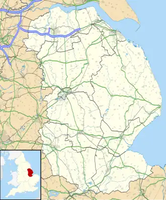
| Graafschap | Lincolnshire | ||
| District | East Lindsey | ||
| Coördinaten | 53° 10' NB, 0° 7' OL | ||
| Algemeen | |||
| Oppervlakte | 8,5259 km² | ||
| Inwoners (2011) |
475 (56 inw./km²) | ||
| Overig | |||
| Postcode(s) | PE23 | ||
| Netnummer(s) | PE | ||
| Grid code | TF417654 | ||
| Post town | SPILSBY | ||
| ONS-code | E04005654 | ||
| Foto's | |||

| |||
| St Andrew's church, Halton Holegate | |||
| |||
Halton Holegate is een civil parish in het bestuurlijke gebied East Lindsey, in het Engelse graafschap Lincolnshire. In 2001 telde het dorp 427 inwoners.[1] Halton Holegate komt in het Domesday Book (1086) voor als 'Haltun'.[2]
Zie de categorie Halton Holegate van Wikimedia Commons voor mediabestanden over dit onderwerp.
Bronnen, noten en/of referenties
- ↑ (en) 'Office for National Statistics', geraadpleegd 22 juni 2014.
- ↑ (en) domesdaybook.co.uk, geraadpleegd 22 juni 2014.