Groter Kokstad
| Gemeente in Zuid-Afrika | |||
|---|---|---|---|
 | |||
.svg.png)
| |||
| Situering | |||
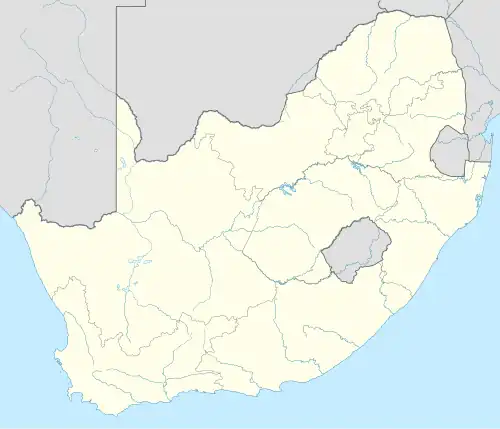
| Provincie | KwaZoeloe-Natal | ||
| District | Harry Gwala | ||
| Coördinaten | 30° 33′ ZB, 29° 26′ OL | ||
| Algemeen | |||
| Oppervlakte | 2680 km² | ||
| Inwoners (2011) |
65.981 (25 inw./km²) | ||
| Etniciteit[1] | 87% Zwart 8% Kleurling 1% Indisch of Aziatisch 3% Blank | ||
| Talen[1] | 7% Afrikaans 9% Engels 69% Xhosa 7% Zoeloe 4% Zuid-Sotho | ||
| Burgemeester | T. N. Jojozi | ||
| Website | kokstad.org.za | ||
| |||
Groter Kokstad (officieel Greater Kokstad Local Municipality) is een gemeente in het Zuid-Afrikaanse district Harry Gwala. Groter Kokstad ligt in de provincie KwaZoeloe-Natal en telt 65.981 inwoners[1].
Hoofdplaatsen
Het nationaal instituut voor de statistiek, Stats SA, deelt sinds de census 2011 deze gemeente in in 6 zogenaamde hoofdplaatsen (main place)[1]:
Aloekop • Franklin • Greater Kokstad NU • Kansdraai • Kokstad • Pakkies.
Externe link
Bronnen, noten en/of referenties