Grant County (Indiana)
| County in de Verenigde Staten | |||
|---|---|---|---|
| |||
| Situering | |||
| Staat | Indiana | ||
| Coördinaten | 40°31'12"NB, 85°39'0"WL | ||
| Algemeen | |||
| Oppervlakte | 1.074 km² | ||
| - land | 1.072 km² | ||
| - water | 2 km² | ||
| Inwoners (2000) |
73.403 (68 inw./km²) | ||
| Overig | |||
| Zetel | Marion | ||
| FIPS-code | 18053 | ||
| Opgericht | 1831 | ||
| Website | www | ||
| Foto's | |||

| |||
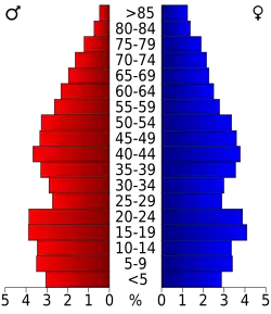 Bevolkingspiramide Grant County | |||
| Statistieken volkstelling Grant County | |||
| |||
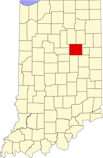
Grant County is een county in de Amerikaanse staat Indiana.
De county heeft een landoppervlakte van 1.072 km² en telt 73.403 inwoners (volkstelling 2000). De hoofdplaats is Marion.
Bevolkingsontwikkeling
| Jaar | Inwoners | % ± | |
|---|---|---|---|
| 1900 | 54.693 | — | |
| 1910 | 51.426 | −6,0% | |
| 1920 | 51.353 | −0,1% | |
| 1930 | 51.066 | −0,6% | |
| 1940 | 55.813 | 9,3% | |
| 1950 | 62.156 | 11,4% | |
| 1960 | 75.741 | 21,9% | |
| 1970 | 83.955 | 10,8% | |
| 1980 | 80.934 | −3,6% | |
| 1990 | 74.169 | −8,4% | |
| 2000 | 73.403 | −1,0% | |
| Bron: (en) Historical Decennial Census Population | |||