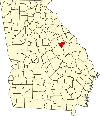
Glascock County
| County in de Verenigde Staten | |||
|---|---|---|---|
| |||
| Situering | |||
| Staat | Georgia | ||
| Coördinaten | 33°13'48"NB, 82°36'36"WL | ||
| Algemeen | |||
| Oppervlakte | 374 km² | ||
| - land | 373 km² | ||
| - water | 1 km² | ||
| Inwoners (2000) |
2.556 (7 inw./km²) | ||
| Overig | |||
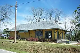
| Zetel | Gibson | ||
| FIPS-code | 13125 | ||
| Opgericht | 1857 | ||
| Website | www | ||
| Foto's | |||
| |||
 Bevolkingspiramide Glascock County | |||
| Statistieken volkstelling Glascock County | |||
| |||
Glascock County is een county in de Amerikaanse staat Georgia.
De county heeft een landoppervlakte van 373 km² en telt 2.556 inwoners (volkstelling 2000). De hoofdplaats is Gibson.
Bevolkingsontwikkeling
| Jaar | Inwoners | % ± | |
|---|---|---|---|
| 1900 | 4.516 | — | |
| 1910 | 4.669 | 3,4% | |
| 1920 | 4.192 | −10,2% | |
| 1930 | 4.388 | 4,7% | |
| 1940 | 4.547 | 3,6% | |
| 1950 | 3.579 | −21,3% | |
| 1960 | 2.672 | −25,3% | |
| 1970 | 2.280 | −14,7% | |
| 1980 | 2.382 | 4,5% | |
| 1990 | 2.357 | −1,0% | |
| 2000 | 2.556 | 8,4% | |
| Bron: (en) Historical Decennial Census Population | |||