Gilston
| Civil parish in Engeland | |||
|---|---|---|---|
 | |||
| Situering | |||
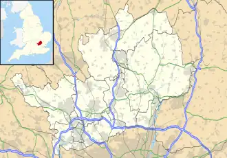
| Regio | East of England | ||
| Graafschap | Hertfordshire | ||
| District | East Hertfordshire | ||
| Coördinaten | 51° 47' NB, 0° 6' OL | ||
| Algemeen | |||
| Oppervlakte | 3,9286 km² | ||
| Inwoners (2011) |
228 (58 inw./km²) | ||
| Overig | |||
| ONS-code | E04004731 | ||
| Foto's | |||
| |||
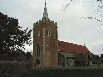
| H.-Maria-kerk | |||
| |||
Gilston is een civil parish in het bestuurlijke gebied East Hertfordshire, in het Engelse graafschap Hertfordshire. In 2001 telde het dorp 180 inwoners.[1]