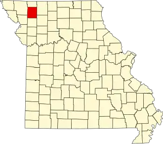
Gentry County
| County in de Verenigde Staten | |||
|---|---|---|---|
| |||
| Situering | |||
| Staat | Missouri | ||
| Coördinaten | 40°13'12"NB, 94°24'36"WL | ||
| Algemeen | |||
| Oppervlakte | 1.274 km² | ||
| - land | 1.273 km² | ||
| - water | 1 km² | ||
| Inwoners (2000) |
6.861 (5 inw./km²) | ||
| Overig | |||
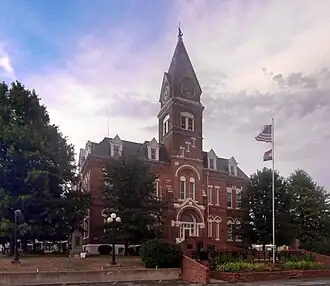
| Zetel | Albany | ||
| FIPS-code | 29075 | ||
| Opgericht | 1841 | ||
| Website | gentrycounty | ||
| Foto's | |||
| |||
 Bevolkingspiramide Gentry County | |||
| Statistieken volkstelling Gentry County | |||
| |||
Gentry County is een county in de Amerikaanse staat Missouri.
De county heeft een landoppervlakte van 1.273 km² en telt 6.861 inwoners (volkstelling 2000). De hoofdplaats is Albany.
Bevolkingsontwikkeling
| Jaar | Inwoners | % ± | |
|---|---|---|---|
| 1900 | 20.554 | — | |
| 1910 | 16.820 | −18,2% | |
| 1920 | 15.634 | −7,1% | |
| 1930 | 14.348 | −8,2% | |
| 1940 | 13.359 | −6,9% | |
| 1950 | 11.036 | −17,4% | |
| 1960 | 8.793 | −20,3% | |
| 1970 | 8.060 | −8,3% | |
| 1980 | 7.887 | −2,1% | |
| 1990 | 6.848 | −13,2% | |
| 2000 | 6.861 | 0,2% | |
| Bron: (en) Historical Decennial Census Population | |||