Gedney
| Civil parish in Engeland | |||
|---|---|---|---|
 | |||
| Situering | |||
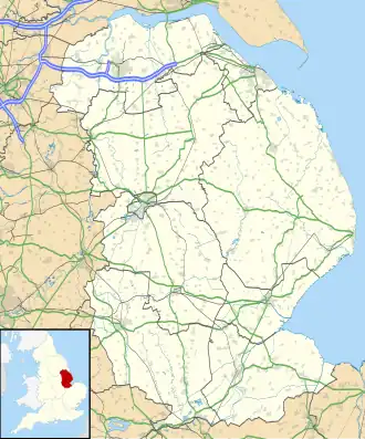
| Regio | East Midlands | ||
| Graafschap | Lincolnshire | ||
| District | South Holland | ||
| Coördinaten | 52° 48' NB, 0° 5' OL | ||
| Algemeen | |||
| Oppervlakte | 50,7180 km² | ||
| Inwoners (2011) |
2351 (46 inw./km²) | ||
| Overig | |||
| Postcode(s) | PE12 0 | ||
| Netnummer(s) | 01406 | ||
| Grid code | TF405243 | ||
| Post town | SPALDING | ||
| ONS-code | E04005856 | ||
| Foto's | |||

| |||
| Kerk van Gedney | |||
| |||
Gedney is een civil parish in het bestuurlijke gebied South Holland, in het Engelse graafschap Lincolnshire met 2351 inwoners.
Geplaatst op:
4-8-2010
4-8-2010
Dit artikel is een beginnetje over landen & volken. U wordt uitgenodigd om op bewerken te klikken om uw kennis aan dit artikel toe te voegen.