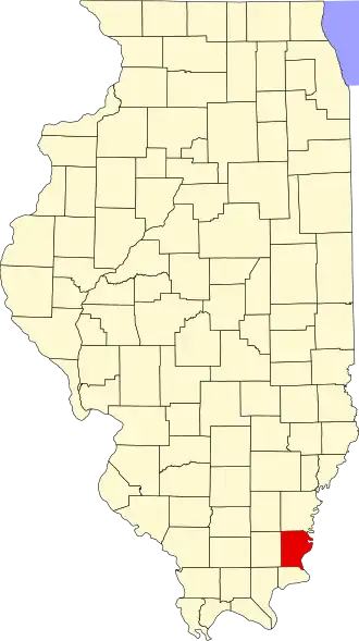
Gallatin County (Illinois)
| County in de Verenigde Staten | |||
|---|---|---|---|
| |||
| Situering | |||
| Staat | Illinois | ||
| Coördinaten | 37°45'36"NB, 88°13'48"WL | ||
| Algemeen | |||
| Oppervlakte | 850 km² | ||
| - land | 838 km² | ||
| - water | 12 km² | ||
| Inwoners (2000) |
6.445 (8 inw./km²) | ||
| Overig | |||
| Zetel | Shawneetown | ||
| FIPS-code | 17059 | ||
| Opgericht | 1812 | ||
| Website | gallatinco | ||
| Foto's | |||

| |||
 Bevolkingspiramide Gallatin County | |||
| Statistieken volkstelling Gallatin County | |||
| |||
Gallatin County is een county in de Amerikaanse staat Illinois.
De county heeft een landoppervlakte van 838 km² en telt 6.445 inwoners (volkstelling 2000). De hoofdplaats is Shawneetown.
Bevolkingsontwikkeling
| Jaar | Inwoners | % ± | |
|---|---|---|---|
| 1900 | 15.836 | — | |
| 1910 | 14.628 | −7,6% | |
| 1920 | 12.856 | −12,1% | |
| 1930 | 10.091 | −21,5% | |
| 1940 | 11.414 | 13,1% | |
| 1950 | 9.818 | −14,0% | |
| 1960 | 7.638 | −22,2% | |
| 1970 | 7.418 | −2,9% | |
| 1980 | 7.590 | 2,3% | |
| 1990 | 6.909 | −9,0% | |
| 2000 | 6.445 | −6,7% | |
| Bron: (en) Historical Decennial Census Population | |||