Gabero
| Commune in Mali | |||
|---|---|---|---|
 | |||
| |||
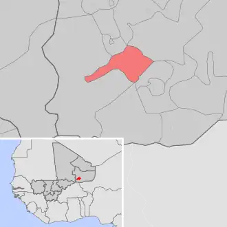
| Situering | |||
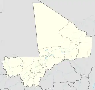
| Regio | Gao | ||
| Cercle | Gao | ||
| Coördinaten | 16° 3′ NB, 0° 7′ OL | ||
| Algemeen | |||
| Oppervlakte | 3500 km² | ||
| Inwoners (2009[1]) |
25.621 (7,3 inw./km²) | ||
| Hoogte | 227 m | ||
| |||
Gabero is een gemeente (commune) in de regio Gao in Mali. De gemeente telt 25.600 inwoners (2009).
De gemeente bestaat uit de volgende plaatsen:
- Haoussa-Foulane (hoofdplaats)
- Banikane
- Borno
- Boya
- Dongomé
- Gaina
- Gargouna
- Gouthine
- Kardjimé
- Koissa
- Marga
- Peul
- Todjel-Gabero
- Todjel-Gargouna
- Traoré
- Zinda
Bronnen, noten en/of referenties