Ford County (Illinois)
| County in de Verenigde Staten | |||
|---|---|---|---|
| |||
| Situering | |||
| Staat | Illinois | ||
| Coördinaten | 40°35'24"NB, 88°13'12"WL | ||
| Algemeen | |||
| Oppervlakte | 1.259 km² | ||
| - land | 1.258 km² | ||
| - water | 1 km² | ||
| Inwoners (2000) |
14.241 (11 inw./km²) | ||
| Overig | |||
| Zetel | Paxton | ||
| FIPS-code | 17053 | ||
| Opgericht | 1859 | ||
| Website | fordcounty | ||
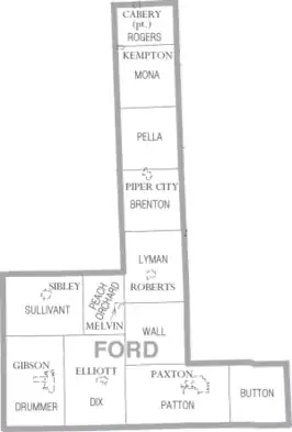
| Detailkaart | |||
| |||
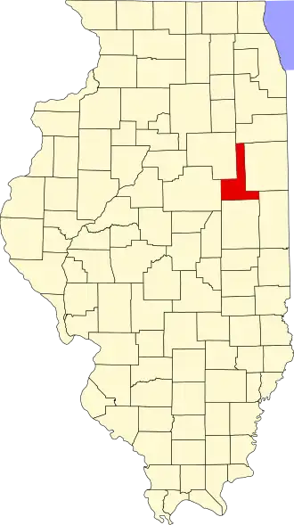
| Overzichtskaart van Ford County | |||
| Foto's | |||

| |||
 Bevolkingspiramide Ford County | |||
| Statistieken volkstelling Ford County | |||
| |||
Ford County is een county in de Amerikaanse staat Illinois.
De county heeft een landoppervlakte van 1.258 km² en telt 14.241 inwoners (volkstelling 2000). De hoofdplaats is Paxton.
Bevolkingsontwikkeling
| Jaar | Inwoners | % ± | |
|---|---|---|---|
| 1900 | 18.359 | — | |
| 1910 | 17.096 | −6,9% | |
| 1920 | 16.466 | −3,7% | |
| 1930 | 15.489 | −5,9% | |
| 1940 | 15.007 | −3,1% | |
| 1950 | 15.901 | 6,0% | |
| 1960 | 16.606 | 4,4% | |
| 1970 | 16.382 | −1,3% | |
| 1980 | 15.265 | −6,8% | |
| 1990 | 14.275 | −6,5% | |
| 2000 | 14.241 | −0,2% | |
| Bron: (en) Historical Decennial Census Population | |||
Externe link