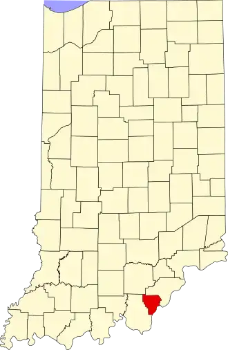
Floyd County (Indiana)
| County in de Verenigde Staten | |||
|---|---|---|---|
| |||
| Situering | |||
| Staat | Indiana | ||
| Coördinaten | 38°19'12"NB, 85°54'0"WL | ||
| Algemeen | |||
| Oppervlakte | 384 km² | ||
| - land | 383 km² | ||
| - water | 1 km² | ||
| Inwoners (2000) |
70.823 (185 inw./km²) | ||
| Overig | |||
| Zetel | New Albany | ||
| FIPS-code | 18043 | ||
| Opgericht | 1819 | ||
| Website | www | ||
| Foto's | |||

| |||
 Bevolkingspiramide Floyd County | |||
| Statistieken volkstelling Floyd County | |||
| |||
Floyd County is een county in de Amerikaanse staat Indiana.
De county heeft een landoppervlakte van 383 km² en telt 70.823 inwoners (volkstelling 2000). De hoofdplaats is New Albany.
Bevolkingsontwikkeling
| Jaar | Inwoners | % ± | |
|---|---|---|---|
| 1900 | 30.118 | — | |
| 1910 | 30.293 | 0,6% | |
| 1920 | 30.661 | 1,2% | |
| 1930 | 34.655 | 13,0% | |
| 1940 | 35.061 | 1,2% | |
| 1950 | 43.955 | 25,4% | |
| 1960 | 51.397 | 16,9% | |
| 1970 | 55.622 | 8,2% | |
| 1980 | 61.169 | 10,0% | |
| 1990 | 64.404 | 5,3% | |
| 2000 | 70.823 | 10,0% | |
| Bron: (en) Historical Decennial Census Population | |||