East Garston
| Civil parish in Engeland | |||
|---|---|---|---|
 | |||
| Situering | |||
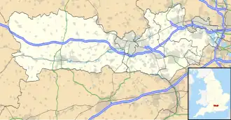
| Regio | South East England | ||
| Graafschap | Berkshire | ||
| District | West Berkshire | ||
| Coördinaten | 51° 29' NB, 1° 29' WL | ||
| Algemeen | |||
| Oppervlakte | 17,7982 km² | ||
| Inwoners (2011) |
535 (30 inw./km²) | ||
| Overig | |||
| Postcode(s) | RG17 | ||
| Netnummer(s) | 01488 | ||
| Grid code | SU3676 | ||
| Post town | NEWBURY | ||
| ONS-code | E04001165 | ||
| Website | www | ||
| Foto's | |||
Aug2006.jpg)
| |||
| Het oorlogsmonument | |||
| |||
East Garston is een civil parish in het bestuurlijke gebied West Berkshire, in het Engelse graafschap Berkshire met 535 inwoners.
Geplaatst op:
1-8-2010
1-8-2010
Dit artikel is een beginnetje over landen & volken. U wordt uitgenodigd om op bewerken te klikken om uw kennis aan dit artikel toe te voegen.