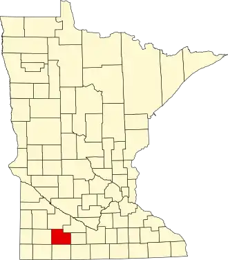
Cottonwood County
| County in de Verenigde Staten | |||
|---|---|---|---|
| |||
| Situering | |||
| Staat | Minnesota | ||
| Coördinaten | 44°0'36"NB, 95°10'48"WL | ||
| Algemeen | |||
| Oppervlakte | 1.681 km² | ||
| - land | 1.658 km² | ||
| - water | 23 km² | ||
| Inwoners (2000) |
12.167 (7 inw./km²) | ||
| Overig | |||
| Zetel | Windom | ||
| FIPS-code | 27033 | ||
| Opgericht | 1857 | ||
| Website | www | ||
| Foto's | |||

| |||
 Bevolkingspiramide Cottonwood County | |||
| Statistieken volkstelling Cottonwood County | |||
| |||
Cottonwood County is een county in de Amerikaanse staat Minnesota.
De county heeft een landoppervlakte van 1.658 km² en telt 12.167 inwoners (volkstelling 2000). De hoofdplaats is Windom.
Bevolkingsontwikkeling
| Jaar | Inwoners | % ± | |
|---|---|---|---|
| 1900 | 12.069 | — | |
| 1910 | 12.651 | 4,8% | |
| 1920 | 14.570 | 15,2% | |
| 1930 | 14.782 | 1,5% | |
| 1940 | 16.143 | 9,2% | |
| 1950 | 15.763 | −2,4% | |
| 1960 | 16.166 | 2,6% | |
| 1970 | 14.887 | −7,9% | |
| 1980 | 14.854 | −0,2% | |
| 1990 | 12.694 | −14,5% | |
| 2000 | 12.167 | −4,2% | |
| Bron: (en) Historical Decennial Census Population | |||