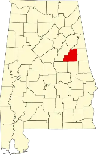
Clay County (Alabama)
| County in de Verenigde Staten | |||
|---|---|---|---|
| |||
| Situering | |||
| Staat | Alabama | ||
| Coördinaten | 33°16'20"NB, 85°51'40"WL | ||
| Algemeen | |||
| Oppervlakte | 1.569 km² | ||
| - land | 1.567 km² | ||
| - water | 2 km² | ||
| Inwoners (2000) |
14.254 (9 inw./km²) | ||
| Overig | |||
| Zetel | Ashland | ||
| FIPS-code | 01027 | ||
| Opgericht | 1866 | ||
| Foto's | |||

| |||
 Bevolkingspiramide Clay County | |||
| Statistieken volkstelling Clay County | |||
| |||
Clay County is een county in de Amerikaanse staat Alabama.
De county heeft een landoppervlakte van 1.567 km² en telt 14.254 inwoners (volkstelling 2000). De hoofdplaats is Ashland.
Bevolkingsontwikkeling
| Jaar | Inwoners | % ± | |
|---|---|---|---|
| 1900 | 17.099 | — | |
| 1910 | 21.006 | 22,8% | |
| 1920 | 22.645 | 7,8% | |
| 1930 | 17.768 | −21,5% | |
| 1940 | 16.907 | −4,8% | |
| 1950 | 13.929 | −17,6% | |
| 1960 | 12.400 | −11,0% | |
| 1970 | 12.636 | 1,9% | |
| 1980 | 13.703 | 8,4% | |
| 1990 | 13.252 | −3,3% | |
| 2000 | 14.254 | 7,6% | |
| Bron: (en) Historical Decennial Census Population | |||