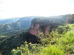
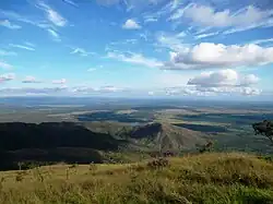
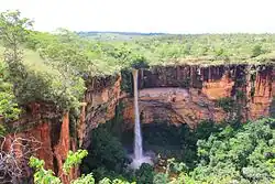
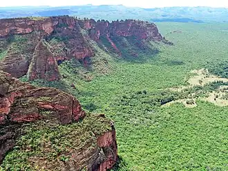
Chapada dos Guimarães
| Gemeente in Brazilië | |||
|---|---|---|---|
 | |||
 | |||
| Situering | |||
| Regio | Centraal-West | ||
| Staat | Mato Grosso | ||
| Mesoregio | Centro-Sul Mato-Grossense | ||
| Microregio | Cuiabá | ||
| Coördinaten | 15° 28′ ZB, 55° 45′ WL | ||
| Algemeen | |||
| Oppervlakte | 6.206,573 km² | ||
| Inwoners (2009) |
18.190 (2,9 inw./km²) | ||
| Hoogte | 798 m | ||
| Gemeentenummer | 5103007 | ||
| Politiek | |||
| Burgemeester | Flávio Daltro | ||
| Gesticht | 31 juli 1954 | ||
| Overig | |||
| Tijdzone | UTC−4 | ||
| HDI | 0,711 | ||
| Website | Officiële website | ||
| Detailkaart | |||
| |||
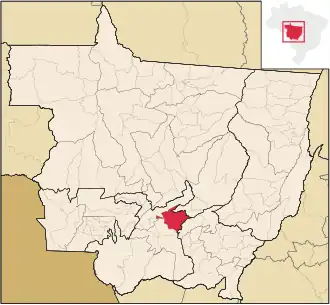
| Locatie van Chapada in de staat Mato Grosso | |||
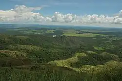
| Foto's | |||
.jpg)
| |||
| |||
Chapada dos Guimarães is een gemeente in de Braziliaanse deelstaat Mato Grosso. De gemeente telt 18.190 inwoners (schatting 2009).
Galerij
Bronnen, noten en/of referenties