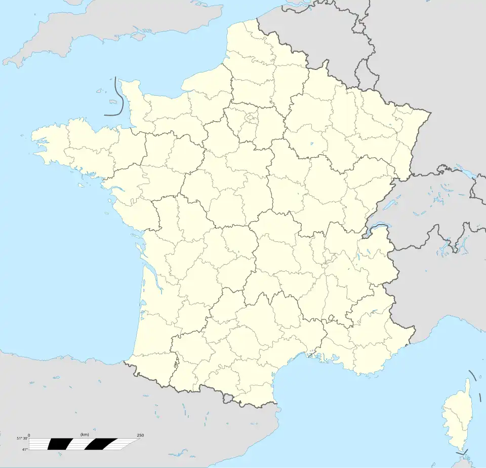
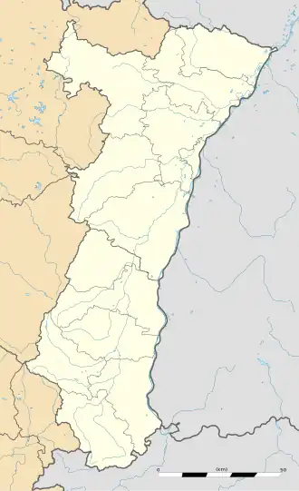
Chalampé
| Gemeente in Frankrijk | |||
|---|---|---|---|
.svg.png) | |||
 | |||
| Situering | |||
| Regio | Grand Est | ||
| Departement | Haut-Rhin (68) | ||
| Arrondissement | Mulhouse | ||
| Kanton | Rixheim | ||
| Coördinaten | 47° 49′ NB, 7° 33′ OL | ||
| Algemeen | |||
| Oppervlakte | 4,77 km² | ||
| Inwoners (1 januari 2022) |
996[1] (209 inw./km²) | ||
| Hoogte | 211 - 217 m | ||
| Overig | |||
| Postcode | 68490 | ||
| INSEE-code | 68064 | ||
| Website | Officiële website | ||
| Detailkaart | |||
 | |||
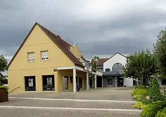
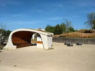
| Foto's | |||
| |||
|
| |||
| Gemeentehuis | |||
| |||
| Verzorgingsplaats voor fietsers | |||
| |||
Chalampé (Duits: Eichwald, Elzassisch: Schàlàmpi) is een gemeente in het Franse departement Haut-Rhin in de regio Grand Est. De gemeente maakt deel uit van het arrondissement Mulhouse en sinds 22 maart 2015, toen het kanton Illzach waar Chalampé deel van uitmaakte werd opgeheven, van het kanton Rixheim. Chalampé telde op 1 januari 2022 996[1] inwoners.
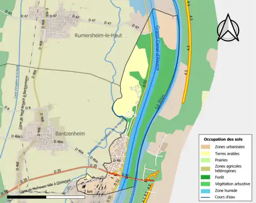
Geografie
De oppervlakte van Chalampé bedroeg op 1 januari 2022 4,77 vierkante kilometer; de bevolkingsdichtheid was toen 208,8 inwoners per km².
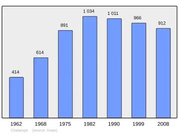
Demografie
Onderstaande figuur toont het verloop van het inwonertal (bron: INSEE-tellingen).
Externe links
- (fr) Statistische informatie op de website van het Franse bureau voor statistiek INSEE
Zie de categorie Chalampé van Wikimedia Commons voor mediabestanden over dit onderwerp.