Châtillon-sur-Indre
| Gemeente in Frankrijk | |||
|---|---|---|---|
 | |||
| Situering | |||
| Regio | Centre-Val de Loire | ||
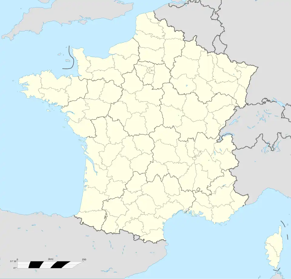
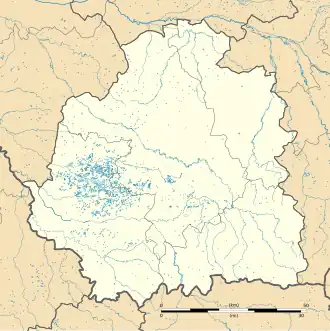
| Departement | Indre (36) | ||
| Arrondissement | Châteauroux | ||
| Kanton | Buzançais | ||
| Coördinaten | 46° 59′ NB, 1° 10′ OL | ||
| Algemeen | |||
| Oppervlakte | 45,3 km² | ||
| Inwoners (1 januari 2022) |
2.296[1] (51 inw./km²) | ||
| Hoogte | 82 - 148 m | ||
| Overig | |||
| Postcode | 36700 | ||
| INSEE-code | 36045 | ||
| Website | Officiële website | ||
| Detailkaart | |||
 | |||
| Foto's | |||
| |||
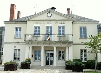
| Gemeentehuis | |||
| |||
Châtillon-sur-Indre is een gemeente in het Franse departement Indre (regio Centre-Val de Loire). De plaats maakt deel uit van het arrondissement Châteauroux. Châtillon-sur-Indre telde op 1 januari 2022 2.296[1] inwoners.
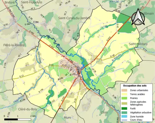
Bij een overstroming in 1913 werd de brug over de Indre weggeslagen. Deze werd in de daaropvolgende jaren weer opgebouwd.[2]
Geografie
De oppervlakte van Châtillon-sur-Indre bedroeg op 1 januari 2022 45,3 vierkante kilometer; de bevolkingsdichtheid was toen 50,7 inwoners per km².
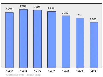
Demografie
Onderstaande figuur toont het verloop van het inwonertal (bron: INSEE-tellingen).
Externe links
- Informatie over Châtillon-sur-Indre
- (fr) Statistische informatie op de website van het Franse bureau voor statistiek INSEE
Bronnen, noten en/of referenties
- ↑ a b Populations de référence 2022.
- ↑ (fr) 1913 - L'Indre en crue à Châtillon. Archives départementales de l'Indre. Geraadpleegd op 22 april 2025.
Zie de categorie Châtillon-sur-Indre van Wikimedia Commons voor mediabestanden over dit onderwerp.