Caçador
| Gemeente in Brazilië | |||
|---|---|---|---|
  | |||
 | |||
| Situering | |||
| Regio | Zuid | ||
| Staat | Santa Catarina | ||
| Mesoregio | Oeste Catarinense | ||
| Microregio | Joaçaba | ||
| Coördinaten | 26° 47′ ZB, 51° 1′ WL | ||
| Algemeen | |||
| Oppervlakte | 981,901 km² | ||
| Inwoners (2017) |
77.323[1] (78,75 inw./km²) | ||
| Hoogte | 920 m | ||
| Gemeente nr. | 4203006 | ||
| Inwonersnaam | Caçadorense | ||
| Politiek | |||
| Burgemeester | Saulo Sperotto[2] (PSDB) (2017-2024) | ||
| Gesticht | 25 maart 1934 | ||
| Overig | |||
| Tijdzone | UTC−3 | ||
| HDI | 0,793 | ||
| Website | cacador.sc.gov.br | ||
| Detailkaart | |||
| |||
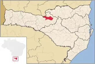
| Locatie van Caçador in de staat Santa Catarina | |||
| Foto's | |||
| |||
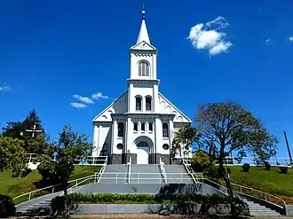
| Kathedraal São Francisco de Assis in Caçador | |||
| |||
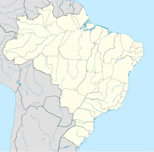
Caçador is een gemeente in de Braziliaanse deelstaat Santa Catarina. De gemeente telt 77.323 inwoners (schatting 2017).
De plaats is de zetel van het rooms-katholieke bisdom Caçador.
Aangrenzende gemeenten
De gemeente grenst aan Água Doce, Calmon, Lebon Régis, Macieira, Rio das Antas, Videira en General Carneiro (PR).
Geboren
Galerij
-
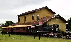
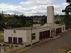 Station van Caçador
 -
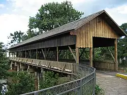 Antionio Bortolonbrug
 -
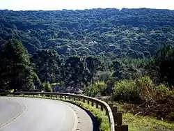 Nationaal Park van Caçador
 -
 Museum Contestado
Externe link
Zie de categorie Caçador van Wikimedia Commons voor mediabestanden over dit onderwerp.
Bronnen, noten en/of referenties
- ↑ (pt) Estimativas de população 2017, Instituto Brasileiro de Geografia e Estatística. Geraadpleegd op 10 april 2018.
- ↑ (pt) Resultado para prefeito nas eleições 2016. Geraadpleegd op 10 april 2018.
- ↑ Gouverneurschap in de periode 2018-2019