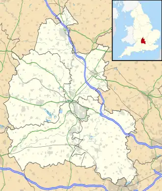
Buckland (Oxfordshire)
| Civil parish in Engeland | |||
|---|---|---|---|
 | |||
| Situering | |||
| Regio | South East England | ||
| Graafschap | Oxfordshire | ||
| District | Vale of White Horse | ||
| Coördinaten | 51° 41' NB, 1° 30' WL | ||
| Algemeen | |||
| Oppervlakte | 18,2245 km² | ||
| Inwoners (2011) |
588 (32 inw./km²) | ||
| Overig | |||
| Postcode(s) | SN7 | ||
| Netnummer(s) | 01367 | ||
| Grid code | SU3498 | ||
| Post town | FARINGDON | ||
| ONS-code | E04008196 | ||
| Website | www | ||
| Foto's | |||
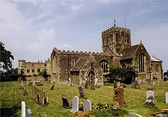
| |||
| Kerk van de H.-Maria | |||
| |||
Buckland is een civil parish in het bestuurlijke gebied Vale of White Horse, in het Engelse graafschap Oxfordshire met 588 inwoners.
-
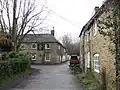 Lamb Inn
Geplaatst op:
16-8-2010
16-8-2010
Dit artikel is een beginnetje over landen & volken. U wordt uitgenodigd om op bewerken te klikken om uw kennis aan dit artikel toe te voegen.