Brown County (Indiana)
| County in de Verenigde Staten | |||
|---|---|---|---|
| |||
| Situering | |||
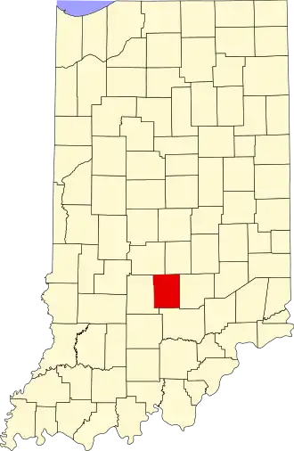
| Staat | Indiana | ||
| Coördinaten | 39°12'0"NB, 86°13'48"WL | ||
| Algemeen | |||
| Oppervlakte | 820 km² | ||
| - land | 809 km² | ||
| - water | 11 km² | ||
| Inwoners (2000) |
14.957 (18 inw./km²) | ||
| Overig | |||
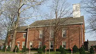
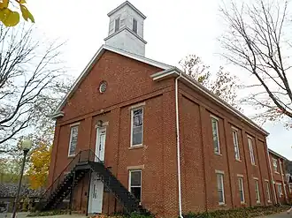
| Zetel | Nashville | ||
| FIPS-code | 18013 | ||
| Opgericht | 1836 | ||
| Website | www | ||
| Foto's | |||
| |||
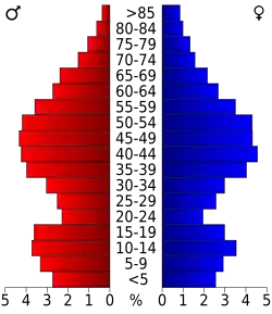 Bevolkingspiramide Brown County | |||
| Statistieken volkstelling Brown County | |||
| |||
Brown County is een county in de Amerikaanse staat Indiana.
De county heeft een landoppervlakte van 809 km² en telt 14.957 inwoners (volkstelling 2000). De hoofdplaats is Nashville.
In de country ligt het Brown County State Park en de Weed Patch Hill.
Bevolkingsontwikkeling
| Jaar | Inwoners | % ± | |
|---|---|---|---|
| 1900 | 9.727 | — | |
| 1910 | 7.975 | −18,0% | |
| 1920 | 7.019 | −12,0% | |
| 1930 | 5.168 | −26,4% | |
| 1940 | 6.189 | 19,8% | |
| 1950 | 6.209 | 0,3% | |
| 1960 | 7.024 | 13,1% | |
| 1970 | 9.057 | 28,9% | |
| 1980 | 12.377 | 36,7% | |
| 1990 | 14.080 | 13,8% | |
| 2000 | 14.957 | 6,2% | |
| Bron: (en) Historical Decennial Census Population | |||