Brantley County
| County in de Verenigde Staten | |||
|---|---|---|---|
| |||
| Situering | |||
| Staat | Georgia | ||
| Coördinaten | 31°12'0"NB, 81°58'48"WL | ||
| Algemeen | |||
| Oppervlakte | 1.159 km² | ||
| - land | 1.151 km² | ||
| - water | 8 km² | ||
| Inwoners (2000) |
14.629 (13 inw./km²) | ||
| Overig | |||
| Zetel | Nahunta | ||
| FIPS-code | 13025 | ||
| Opgericht | 1920 | ||
| Website | brantleycounty-ga | ||
| Foto's | |||

| |||
 Bevolkingspiramide Brantley County | |||
| Statistieken volkstelling Brantley County | |||
| |||
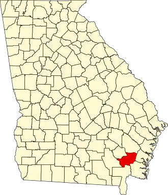
Brantley County is een county in de Amerikaanse staat Georgia.
De county heeft een landoppervlakte van 1.151 km² en telt 14.629 inwoners (volkstelling 2000). De hoofdplaats is Nahunta.