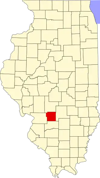
Bond County
| County in de Verenigde Staten | |||
|---|---|---|---|
| |||
| Situering | |||
| Staat | Illinois | ||
| Coördinaten | 38°52'48"NB, 89°26'24"WL | ||
| Algemeen | |||
| Oppervlakte | 991 km² | ||
| - land | 985 km² | ||
| - water | 6 km² | ||
| Inwoners (2000) |
17.633 (18 inw./km²) | ||
| Overig | |||
| Zetel | Greenville | ||
| FIPS-code | 17005 | ||
| Opgericht | 1817 | ||
| Website | bondcountyil | ||
| Foto's | |||

| |||
 Bevolkingspiramide Bond County | |||
| Statistieken volkstelling Bond County | |||
| |||
Bond County is een county in de Amerikaanse staat Illinois.
De county heeft een landoppervlakte van 985 km² en telt 17.633 inwoners (volkstelling 2000). De hoofdplaats is Greenville.
Bevolkingsontwikkeling
| Jaar | Inwoners | % ± | |
|---|---|---|---|
| 1900 | 16.078 | — | |
| 1910 | 17.075 | 6,2% | |
| 1920 | 16.045 | −6,0% | |
| 1930 | 14.406 | −10,2% | |
| 1940 | 14.540 | 0,9% | |
| 1950 | 14.157 | −2,6% | |
| 1960 | 14.060 | −0,7% | |
| 1970 | 14.012 | −0,3% | |
| 1980 | 16.224 | 15,8% | |
| 1990 | 14.991 | −7,6% | |
| 2000 | 17.633 | 17,6% | |
| Bron: (en) Historical Decennial Census Population | |||
Foto's
-
Rechtbank