Baraga County
| County in de Verenigde Staten | |||
|---|---|---|---|
| |||
| Situering | |||
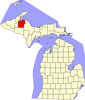
| Staat | Michigan | ||
| Coördinaten | 46°43'12"NB, 88°20'24"WL | ||
| Algemeen | |||
| Oppervlakte | 2.768 km² | ||
| - land | 2.341 km² | ||
| - water | 427 km² | ||
| Inwoners (2000) |
8.746 (4 inw./km²) | ||
| Overig | |||
| Zetel | LÔÇÖAnse | ||
| FIPS-code | 26013 | ||
| Opgericht | 1875 | ||
| Website | www | ||
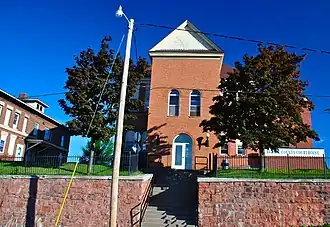
| Foto's | |||
| |||
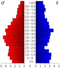 Bevolkingspiramide Baraga County | |||
| Statistieken volkstelling Baraga County | |||
| |||
Baraga County is een county in de Amerikaanse staat Michigan.
De county heeft een landoppervlakte van 2.341 km² en telt 8.746 inwoners (volkstelling 2000). De hoofdplaats is LÔÇÖAnse.
Bevolkingsontwikkeling
| Jaar | Inwoners | % ± | |
|---|---|---|---|
| 1900 | 4.320 | — | |
| 1910 | 6.127 | 41,8% | |
| 1920 | 7.662 | 25,1% | |
| 1930 | 9.168 | 19,7% | |
| 1940 | 9.356 | 2,1% | |
| 1950 | 8.037 | −14,1% | |
| 1960 | 7.151 | −11,0% | |
| 1970 | 7.789 | 8,9% | |
| 1980 | 8.484 | 8,9% | |
| 1990 | 7.954 | −6,2% | |
| 2000 | 8.746 | 10,0% | |
| Bron: (en) Historical Decennial Census Population | |||
Foto's
-
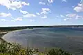 Keweenaw Bay
 -
 Canyon Falls Bridge
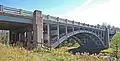
 -
 US41 over een oude brug
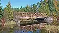
 -
 US 141