Baldwin County (Georgia)
| County in de Verenigde Staten | |||
|---|---|---|---|
| |||
| Situering | |||
| Staat | Georgia | ||
| Coördinaten | 33°4'12"NB, 83°15'0"WL | ||
| Algemeen | |||
| Oppervlakte | 692 km² | ||
| - land | 669 km² | ||
| - water | 23 km² | ||
| Inwoners (2000) |
44.700 (67 inw./km²) | ||
| Overig | |||
| Zetel | Milledgeville | ||
| FIPS-code | 13009 | ||
| Opgericht | 1803 | ||
| Website | www | ||
| Foto's | |||
| |||
 Bevolkingspiramide Baldwin County | |||
| Statistieken volkstelling Baldwin County | |||
| |||
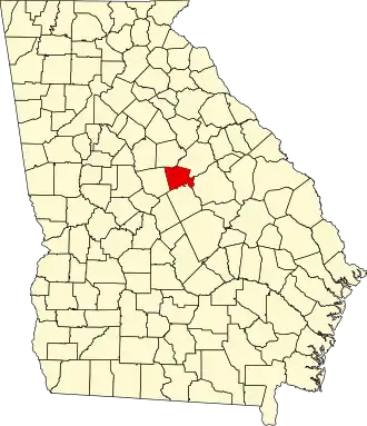
Baldwin County is een county in de Amerikaanse staat Georgia.
De county heeft een landoppervlakte van 669 km² en telt 44.700 inwoners (volkstelling 2000). De hoofdplaats is Milledgeville.
Bevolkingsontwikkeling
| Jaar | Inwoners | % ± | |
|---|---|---|---|
| 1900 | 17.768 | — | |
| 1910 | 18.354 | 3,3% | |
| 1920 | 19.791 | 7,8% | |
| 1930 | 22.878 | 15,6% | |
| 1940 | 24.190 | 5,7% | |
| 1950 | 29.706 | 22,8% | |
| 1960 | 34.064 | 14,7% | |
| 1970 | 34.240 | 0,5% | |
| 1980 | 34.686 | 1,3% | |
| 1990 | 39.530 | 14,0% | |
| 2000 | 44.700 | 13,1% | |
| Bron: (en) Historical Decennial Census Population | |||